City data dated
Dunkin
Donuts · Upper West Side · Manhattan
Dunkin holds an A from May 4, 2026.
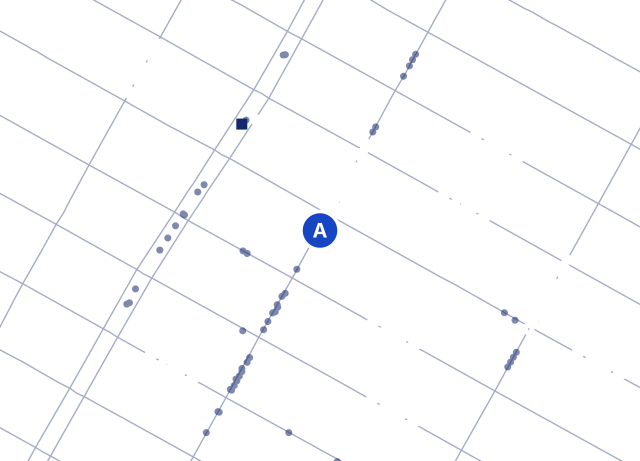
Filed as Donuts at 535 Amsterdam Ave, Upper West Side, Manhattan 10024.
86 St (1) is the closest subway station, about 0.1 miles in a straight line.
On file
- Address
- 535 Amsterdam Ave, 10024
- Phone
- (646) 370-5831
- Cuisine, as filed
- Donuts
- Neighborhood
- Upper West Side
- Name, as filed
- DUNKIN
- Last inspected
- May 4, 2026
- Closest subway
- 86 St (1), about 0.1 miles in a straight line
- City record ID
- 50089257
Closest Donuts places
Measured in a straight line.
- Dunkin2414 Broadway0.2 miles
- Dunkin687 Amsterdam Ave0.4 miles
- Dunkin353 Amsterdam Ave0.5 miles
- Dunkin'730 Columbus Ave0.5 miles
- Dunkin166 W 72nd St0.7 miles
All 6 donut shops in Upper West Side · 305 of 378 places in Upper West Side show an A.
Questions about Dunkin
- What is Dunkin's health grade?
- An A, issued May 4, 2026.
- What is the phone number for Dunkin?
- (646) 370-5831, as filed with the city. Owners give the city this number, so it can go out of date.
- Where is Dunkin?
- 535 Amsterdam Ave, Upper West Side, Manhattan, NY 10024.
Where this comes from
Names, addresses, phones, cuisine labels, grades and dates come from the DOHMH New York City Restaurant Inspection Results on NYC Open Data. The file behind this page is dated October 30, 2026, and its newest inspection is from October 29, 2026. We check for a new file every 24 hours. For the city's own lookup, use ABC Eats.
Want to check this record? Here's the raw city data for record 50089257. If something's wrong, it has to be fixed with the city.